Schenectady NY

- Members


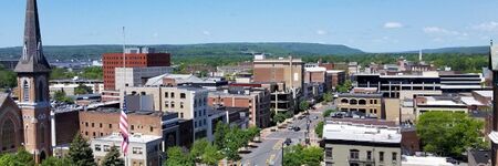
Schenectady is a city in Schenectady County, New York, United States, of which it is the county seat. As of the 2010 census, the city's population of 66,135 made it the state's ninth-largest city by population. The name "Schenectady" is derived from the Mohawk word skahnéhtati, meaning "beyond the pines". Schenectady was founded on the south side of the Mohawk River by Dutch colonists in the 17th century, many of which were from the Albany area. The Dutch transferred the name "Skahnéhtati" which is in reality the Mohawk name for Albany, New York. These Dutch were prohibited from the fur trade by the Albany monopoly, which kept its control after the English takeover in 1664. Residents of the new village developed farms on strip plots along the river.
Activities

|
Anatomy of a Smart City | |
| Showing the connecting fiber of a Smart City with Local Government, Public and Private Utilities and Services, Smart Building Technology, Communicating and sharing of Information to residents, business and the community as a whole with emphasis on security throughout the process. | ||

|
City of Schenectady, NY: Enhanced City Services | |
| As part of Schenectady’s Lower Union Street reconstruction Project that started in late 2015, Smart Lights have recently been installed that allow the control of lighting and other sensors to monitor devices as well as provide a small scale Public Wi-Fi deployment. This deployment, activated on June 20th 2017 as Schenectady’s contribution to World Wi-Fi Day 41 , gives residents, and visitors within a 5-block area of State Street (from Broadway to Lafayette) access to the internet and is helping to identify value for further Wi-Fi deployment. 42 Wi-Fi access points also allow the city to control smart lighting and other IoT sensors that help in evaluating the benefits of various accessories. This project is in coordination with additional Wi-Fi access in front of City Hall on Jay Street that is also available for residents and visitors to the city. | ||

|
Connecting Communities with Public Wi-Fi technology and local Tourism mobile applications | |
| Provide areas of Public Wi-Fi for use by residents, employees and visitors while deploying informational mobile application showcasing local businesses and giving real time data for local trolley schedules.
Using technology to collect data which will improve the operation of local governments. | ||