First Responders on the Grid
| First Responders on the Grid | |
|---|---|

| |
 HAAS Alert | |
| Team Organizations | Federal Signal Grand Rapids Michigan Fire Department Detroit Fire Department |
| Team Leaders | Cory Hohs Scott Rohrbaugh |
| Participating Municipalities | Chicago IL |
| Status | Launched |
| Document | None |
Description
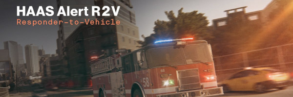
Leverage a platform that allows for alerting drivers when first responders are in route nearby. The platform will use existing mobile networks within the city to send the alerts to drivers on their phones and in-dash through our partnerships with automotive companies. The project will assist in moving drivers out of the way of first responders which will ultimately reduce response times, reduce the number of vehicles driving towards an active scene, and look at learnings from analytics and metrics for how long first responders were in lights and sirens mode.
Challenges
60,000 emergency vehicles collision a year in the U.S. causing $35B cost to society. Police Officers and Fire Fighters have a higher death rate driving to the scene of an incident than at the scene itself. Expensive direct line of sight or short range sensors on cars require nearby and even direct line of site which for first responders is not enough warning time to drivers or to traffic lights.
Solutions
The costs of our solution is $10 per first responders vehicle which means it is affordable for any city, today at wide spread adoption.
Major Requirements
- Work with assigned city to develop number of vehicles to deploy on.
- With the first responder fleet, create the tracking and metrics that we will report on to show the efficacy of the solution.
- Create a platform of drivers to receive the alerts.
- Create an android based mobile application for the project.
- Work with first responders in the city to activate the project and show live alerting from their vehicles to drivers in the area.
- Launch pilot and update regularly through a dashboard with analytics.
Performance Targets
| Key Performance Indicators (KPIs) | Measurement Methods |
|---|---|
|
|
Standards, Replicability, Scalability, and Sustainability
- Requires the GPS data, connection to lights and sirens, as well as needing to compare to existing runtimes off of the dispatch and CAD system.
- Will be an instructional opportunity on using technologies that allow for broadcasting when lights and sirens are enabled.
Cybersecurity and Privacy
To be developed
Impacts
- Will lead to reduction in response times and collisions.
- Will enable cities to become smarter by using the data for connected street lights and connected traffic lights (we provide at no cost).
- Will enable a more aware public safety campaign which will improve the quality of life for first responders and those living in the area with this notification system.
Demonstration/Deployment
Will showcase with the actual mobile solution and IoT smart city sensor and how it works easily for any city looking to deploy the solution. Will include the live dashboard and analytics to look at results. If there is room, we can have an actual emergency vehicle there to show how the setup can be done (or just have a connected light and siren on a table and show the system working in its entirety).