PortlandMaps - Open Data: Difference between revisions
Jump to navigation
Jump to search
No edit summary |
No edit summary |
||
| Line 7: | Line 7: | ||
|status=Implemented | |status=Implemented | ||
|sector=Data | |sector=Data | ||
|chapter=Open Data | |||
|summary=PortlandMaps delivers site-specific property information, neighborhood crime statistics, aerial photos, school information, and tons of additional map data for the City of Portland and beyond. | |||
|tag=Open Data | |tag=Open Data | ||
}} | }} | ||
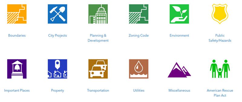
PortlandMaps delivers site-specific property information, neighborhood crime statistics, aerial photos, school information, and tons of additional map data for the City of Portland and beyond. | PortlandMaps delivers site-specific property information, neighborhood crime statistics, aerial photos, school information, and tons of additional map data for the City of Portland and beyond. | ||
[[File:DataCategories.jpg|link=https://gis-pdx.opendata.arcgis.com/|800px|center]] | [[File:DataCategories.jpg|link=https://gis-pdx.opendata.arcgis.com/|800px|center]] | ||
Latest revision as of 05:27, January 17, 2023
| PortlandMaps - Open Data | |
|---|---|
 PortlandMaps | |
| Team Organizations | City of Portland |
| Team Leaders | Hector Dominguez |
| Participating Municipalities | Portland OR |
| Sectors | Data |
| Status | Implemented |
| Last Updated | April 28, 2024 |
Summary
PortlandMaps delivers site-specific property information, neighborhood crime statistics, aerial photos, school information, and tons of additional map data for the City of Portland and beyond. PortlandMaps delivers site-specific property information, neighborhood crime statistics, aerial photos, school information, and tons of additional map data for the City of Portland and beyond.