PortlandMaps - Open Data
| PortlandMaps - Open Data | |
 PortlandMaps | |
| Team Organizations | City of Portland |
| Point of Contact | Hector Dominguez |
| Participating Municipalities | Portland OR |
| Sectors | Data |
| Initiative | |
| Status | Implemented |
| Last Updated | June 28, 2026 |
Summary
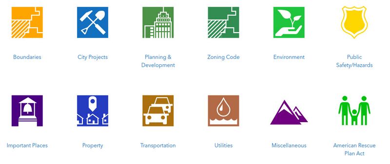
PortlandMaps delivers site-specific property information, neighborhood crime statistics, aerial photos, school information, and tons of additional map data for the City of Portland and beyond.
PortlandMaps delivers site-specific property information, neighborhood crime statistics, aerial photos, school information, and tons of additional map data for the City of Portland and beyond.