GIS Resources from the Oregon Department of Forestry
| GIS Resources from the Oregon Department of Forestry | |
 GIS Resources | |
| Team Organizations | Oregon Department of Forestry |
| Point of Contact | Cal Mukumoto |
| Participating Municipalities | Salem OR |
| Sectors | Data Public Safety |
| Initiative | |
| Status | Implemented |
| Last Updated | August 1, 2026 |
Summary
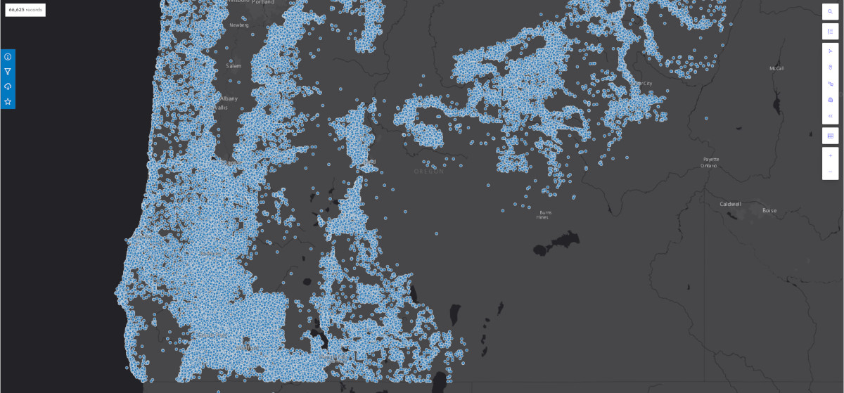
Oregon Department of Forestry's GIS Data is maintained by the Information Technology Department's GIS Unit.