GIS Resources from the Oregon Department of Forestry: Difference between revisions
Jump to navigation
Jump to search
Created page with "{{Infobox project |image=ODFGIS.jpg |imagecaption=GIS Resources |team-members=Oregon Department of Forestry |poc=Cal Mukumoto |location_city=Salem OR |status=Implemented |sect..." |
No edit summary |
||
| Line 11: | Line 11: | ||
}} | }} | ||
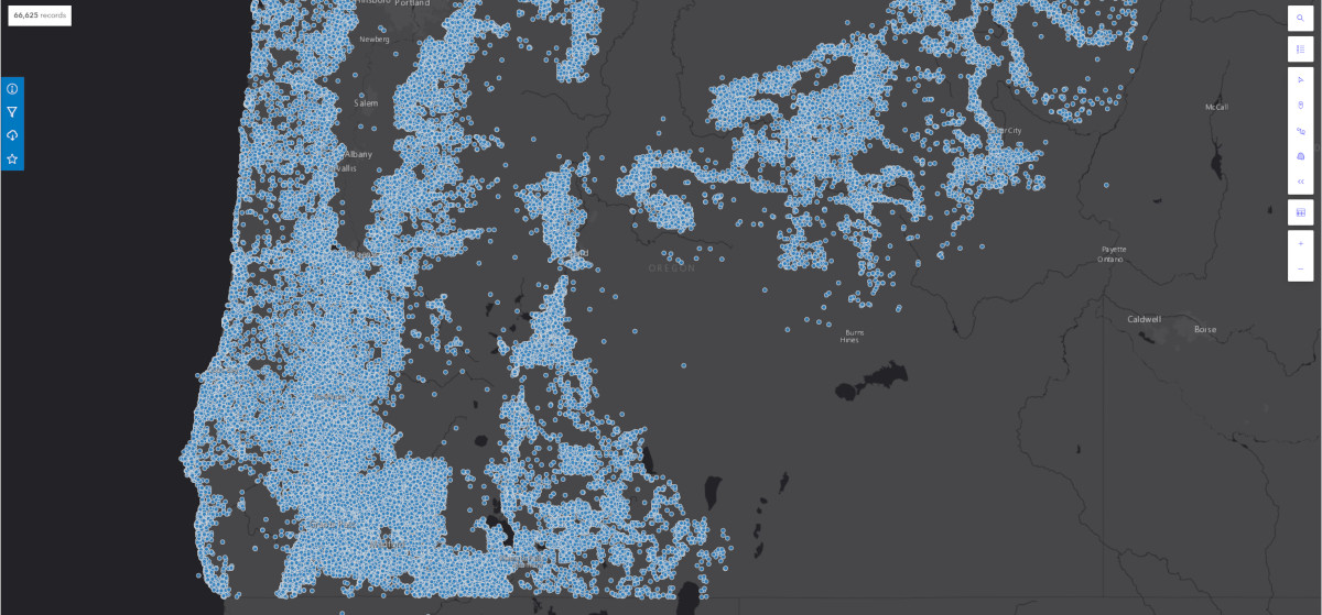
[[File:ODFGISData.jpg|link=https://oregon-department-of-forestry-geo.hub.arcgis.com/datasets/odf-fire-2/explore?location=43.647634%2C-120.638308%2C8.42|1200px|center]] | [[File:ODFGISData.jpg|link=https://oregon-department-of-forestry-geo.hub.arcgis.com/datasets/odf-fire-2/explore?location=43.647634%2C-120.638308%2C8.42|1200px|center]] | ||
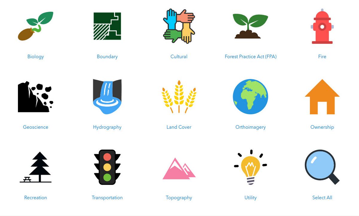
[[File:SourcesODFGISData.jpg|link=https://oregon-department-of-forestry-geo.hub.arcgis.com/pages/data|1200px|center]] | |||
Revision as of 14:47, November 18, 2022
| GIS Resources from the Oregon Department of Forestry | |
 GIS Resources | |
| Team Organizations | Oregon Department of Forestry |
| Point of Contact | Cal Mukumoto |
| Participating Municipalities | Salem OR |
| Sectors | Data Public Safety |
| Initiative | |
| Status | Implemented |
| Last Updated | August 1, 2026 |
Summary
Oregon Department of Forestry's GIS Data is maintained by the Information Technology Department's GIS Unit.