Kashiwa Japan

- Members
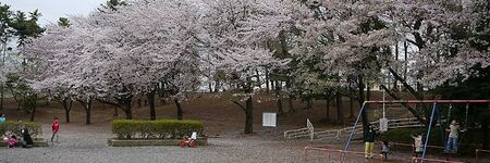
Kashiwa is a city located in Chiba Prefecture, Japan. As of 2021, the city had an estimated population of 433,436 in 194,216 households and a population density of 3800 persons per km². The total area of the city is 114.72 square kilometres (44.29 sq mi).
Activities

|
Kashiwanoha Smart City Project | |
| The Kashiwanoha smart city project (first described as Kashiwanoha International Campus Town Initiative) is a planned from scratch city project, involving a greenfield smart city vision, situated around Kashiwanoha Campus Station. Kashiwonoha smart city project is a privately-led project, with Mitsui Fudosan as the main developer. It was also the owner the previous owner of the golf course on which construction work of the project were first based. However, Kashiwa city was designated as one of the "FutureCities" by the national government in 2011, making Kashiwanoha new town project eligible for government subsidies. | ||

|
Kashiwa-no-ha Smart City Case Study Published | |
| The heart of the Kashiwa-no-ha Smart City project is a multilateral partnership bringing together entities and participants from the public and private sectors and academia. This partnership serves as a platform for discussion, deliberation, creation, resolution, and guidance in the conception and evolution of the project. | ||
Details
The name of the city is written with a single kanji character: 柏, a reference to Quercus dentata, commonly known in English as the Japanese emperor oak or daimyo oak.
Kashiwa is located on the Shimōsa Plateau in the far northwestern corner of Chiba Prefecture, about 30 kilometers from the prefectural capital at Chiba and 25 to 35 kilometers from central Tokyo. It is separated from Ibaraki Prefecture to the north by the Tone River. Located on the Kanto Plain, the city is flat, with an elevation of between 5 and 32 meters above sea level.