Environmental Sensing Across the Metro DC Region
| Environmental Sensing Across the Metro DC Region | |
|---|---|

| |
 Sensing Across the Metro DC Region | |
| Team Organizations | National Capital Planning Commission MetroLab Georgetown University George Washington University American University Howard University UDC |
| Team Leaders | Don DuRousseau Kenneth Walton |
| Participating Municipalities | Washington DC |
| Status | Development |
| Document | None |
Description
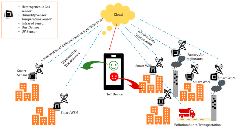
Create a network of environmental sensors placed on campuses throughout Washington DC that are participating in the DC MetroLab partnership. This effort will enable public access to environmental data like temperature, wind, gas and particulate concentration, and even traffic flows, simultaneously from all over the city. Involves city technology, planning, and networking agencies and MetroLab partners; George Washington, Georgetown, American, Howard and The District of Columbia Universities.
Challenges
- Effectively coordinating with city agencies and MetroLab partners to connect the schools to the CAAREN infrastructure and data repository.
- Ensuring deployment of the Array of Things (AoT) and other purpose built sensors at each campus to provide consistent and reliable data from nearly half of the city.
- Enacting agreements with District agencies to provide access to transportation, utilities and energy environmental data so it can be house in the shared data repository.
- Locating continued grant funding to pay for resources needed for sustainable operations of the sensors and data archive.
Solutions
TBD
Major Requirements
Enabling a distributed environmental sensor network is a key component of the overall PA2040 project, which is underway. The project will:
- Assemble representatives from the MetroLab partner schools in DC to agree on the project concept and sensor location and access plan.
- Define scope and sensor requirements and obtain stakeholder commitment for co-locating sensors on the campuses, including Letters of Support, MOUs, and service contracts.
- Develop system architecture, including use of city WiFi and fiber networks, to acquire and store each stream of sensor data and make it publically available from servers located at GWU.
- Procure AoT devices from Argonne National Labs and deploy at least one unit at each campus.
- Proof of concept testing to ensure adequate sensor placement.
Performance Targets
| Key Performance Indicators (KPIs) | Measurement Methods |
|---|---|
|
KPIs will support goals of this effort to increase research and citizen science access and utilization of environmental city based data:
|
|
Standards, Replicability, Scalability, and Sustainability
- Wi-Fi standards used: 802.11 a/b/g/n
- Wi-Fi security: WPA, WPA2, 802.1X
- Wired Ethernet: 10/100Mbps
- IPv4/IPv6
- Should have inbound SSH access for management
- Replicability - Standard architecture.
- Scalability - Initial deployment will consist of 2-4 sensors and can scale with funding.
- Sustainability – sensor nodes are remotely managed using an automation system such as Puppet for at-scale management.
- Automated data collection via push model.
Cybersecurity and Privacy
TBD
Impacts
- Improved network access to several types of sensor data from devices placed throughout the District of Columbia.
- Utilization of environmental sensor data to benefit predictive modeling and simulations and mobile application developments targeting public health, transportation, wayfinding, and emergency response focus areas.
- Enhancing visitor experience along Pennsylvania Avenue and economic development.
- Improved government operations through better Wi-Fi access to city workers.
- Improved mass transit operations through better Wi-Fi access.
Demonstration/Deployment
- Phase I Pilot/Demonstration:
Includes completion of last mile fiber placement to Howard University Medical and Law Schools, University of DC and Children’s Hospital. Includes location and placement of the AoT Hub and other citizen-science driven technology experiments, such as Co2 analyzers, wind and solar monitors and vehicle and pedestrian reporting systems.
- Phase II Deployment:
Potential integration with applications developers, sensor device makers, and the District and Federal government agencies.
