The Integrated Information Platform for Smart Transportation of Tainan City: Difference between revisions
Jump to navigation
Jump to search
No edit summary |
No edit summary |
||
| (3 intermediate revisions by the same user not shown) | |||
| Line 1: | Line 1: | ||
{{ActionCluster | {{ActionCluster | ||
|image=Intelligent transportation 600.jpg | |||
| | |team=International Integrated Systems Inc. (IISI) | ||
|leader=Shih-Szu Wang | |||
| team | |imagecaption=Inteligent Transportation Platform | ||
|municipalities=Tainan Taiwan | |||
| leader | |status=Implemented | ||
|description=After merging Tainan City with Tainan County to be Greater Tainan, the changes in environmental factors such as transportation infrastructure and population increase have made the traffic management work more diverse and arduous. Based on the challenges, a smart system is necessary to enable more accurate and effective decision-making and traffic management. A cross-organized, integrated and IOT value-added systems including intelligent traffic control, smart public transportation, smart parking management, smart vehicle sharing, and smart cloud platform is proposed and developed. | |||
|challenges=* The urban arterial or scenic area are usually congested due to the high traffic flow on weekdays and holidays respectively. An intelligent driving path guidance and dynamic traffic signage control could distribute and balance the flow then relief the traffic jam. | |||
| imagecaption | |solutions=* The greater area might increase the budget for constructing the transportation infrastructure. To integrate and cooperate the facilities of all divisions of the transportation bureau could leverage management efficiency. For example, the streaming of the bus ahead camera can be used for dynamic road traffic monitoring, violation detection, and investigation of traffic accident. | ||
| municipalities | |requirements=The proposed project is carried out in six steps: | ||
| status | |||
| description | |||
After merging Tainan City with Tainan County to be Greater Tainan, the changes in environmental factors such as transportation infrastructure and population increase have made the traffic management work more diverse and arduous. Based on the challenges, a smart system is necessary to enable more accurate and effective decision-making and traffic management. A cross-organized, integrated and IOT value-added systems including intelligent traffic control, smart public transportation, smart parking management, smart vehicle sharing, and smart cloud platform is proposed and developed. | |||
| challenges | |||
* The urban arterial or scenic area are usually congested due to the high traffic flow on weekdays and holidays respectively. An intelligent driving path guidance and dynamic traffic signage control could distribute and balance the flow then relief the traffic jam. | |||
| solutions | |||
* The greater area might increase the budget for constructing the transportation infrastructure. To integrate and cooperate the facilities of all divisions of the transportation bureau could leverage management efficiency. For example, the streaming of the bus ahead camera can be used for dynamic road traffic monitoring, violation detection, and investigation of traffic accident. | |||
| requirements | |||
The proposed project is carried out in six steps: | |||
# Develop and assemble project team | # Develop and assemble project team | ||
# Create scope, requirements and project plan | # Create scope, requirements and project plan | ||
| Line 42: | Line 19: | ||
## System integration and field testing | ## System integration and field testing | ||
# Run and measurement of the system performance and the defined KPIs | # Run and measurement of the system performance and the defined KPIs | ||
|kpi=* Travel time reduction by 15% for the target area adopting the management strategy of combined driving path guidance and dynamic traffic signage control | |||
| kpi | |||
* Travel time reduction by 15% for the target area adopting the management strategy of combined driving path guidance and dynamic traffic signage control | |||
* Increase the road traffic monitoring range by 25% by the collection of real-time video streaming of bus head camera | * Increase the road traffic monitoring range by 25% by the collection of real-time video streaming of bus head camera | ||
|measurement=* Measurement of the average travel time for specific route, compare the measurements w/o and w/ management strategy | |||
| measurement | |||
* Measurement of the average travel time for specific route, compare the measurements w/o and w/ management strategy | |||
* Quantity statistic of the fixed CCTVs and the Bus ahead cameras. | * Quantity statistic of the fixed CCTVs and the Bus ahead cameras. | ||
|standards=* The strategy of combined driving path guidance and dynamic traffic signage control is a general approach and can be extended to the other similar areas. | |||
|cybersecurity=* Although the automatic license plate recognition is adopted for OD travel time calculation in this system, the plate information is hashed to make sure the privacy | |||
| standards | |||
* The strategy of combined driving path guidance and dynamic traffic signage control is a general approach and can be extended to the other similar areas. | |||
| cybersecurity | |||
* Although the automatic license plate recognition is adopted for OD travel time calculation in this system, the plate information is hashed to make sure the privacy | |||
* The system is built and run within Government VPN environment and two layers firewall are designed to prevent the cyberattacks | * The system is built and run within Government VPN environment and two layers firewall are designed to prevent the cyberattacks | ||
|impacts=* Reduction of travel time not only benefits drivers but also saves energy, reduces air pollution, and protects our environment and health. | |||
|demonstration=* The proposed system is near well- implemented and tested now and will be ready for formal announcement in June 2019. | |||
|chapter=Intelligent Transportation | |||
| impacts | |supercluster=Transportation | ||
* Reduction of travel time not only benefits drivers but also saves energy, reduces air pollution, and protects our environment and health. | |year=2019 | ||
|title=The Integrated Information Platform for Smart Transportation of Tainan City | |||
|email=sue_tainan@mail.tainan.gov.tw | |||
| demonstration | |||
* The proposed system is near well- implemented and tested now and will be ready for formal announcement in June 2019. | |||
| supercluster | |||
| year | |||
}} | }} | ||
[[File:Inteligent_Transportation_Platform_.jpeg|center|Inteligent_Transportation_Platform]] | |||
Latest revision as of 06:06, January 25, 2023
| The Integrated Information Platform for Smart Transportation of Tainan City | |
|---|---|
 Inteligent Transportation Platform | |
| Team Organizations | International Integrated Systems Inc. (IISI) |
| Team Leaders | Shih-Szu Wang |
| Participating Municipalities | Tainan Taiwan |
| Status | Implemented |
| Document | None |
Description
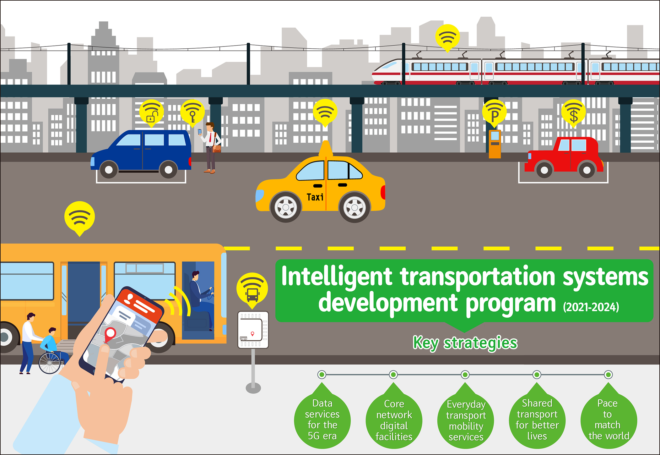
After merging Tainan City with Tainan County to be Greater Tainan, the changes in environmental factors such as transportation infrastructure and population increase have made the traffic management work more diverse and arduous. Based on the challenges, a smart system is necessary to enable more accurate and effective decision-making and traffic management. A cross-organized, integrated and IOT value-added systems including intelligent traffic control, smart public transportation, smart parking management, smart vehicle sharing, and smart cloud platform is proposed and developed.
Challenges
- The urban arterial or scenic area are usually congested due to the high traffic flow on weekdays and holidays respectively. An intelligent driving path guidance and dynamic traffic signage control could distribute and balance the flow then relief the traffic jam.
Solutions
- The greater area might increase the budget for constructing the transportation infrastructure. To integrate and cooperate the facilities of all divisions of the transportation bureau could leverage management efficiency. For example, the streaming of the bus ahead camera can be used for dynamic road traffic monitoring, violation detection, and investigation of traffic accident.
Major Requirements
The proposed project is carried out in six steps:
- Develop and assemble project team
- Create scope, requirements and project plan
- Gain stakeholder and government support
- Bid and assemble development team
- System development
- Analyze the current issues of traffic control, public transportation, parking, vehicle sharing of this city and then propose solutions.
- System architect design、detailed function design and developed
- System integration and field testing
- Run and measurement of the system performance and the defined KPIs
Performance Targets
| Key Performance Indicators (KPIs) | Measurement Methods |
|---|---|
|
|
Standards, Replicability, Scalability, and Sustainability
- The strategy of combined driving path guidance and dynamic traffic signage control is a general approach and can be extended to the other similar areas.
Cybersecurity and Privacy
- Although the automatic license plate recognition is adopted for OD travel time calculation in this system, the plate information is hashed to make sure the privacy
- The system is built and run within Government VPN environment and two layers firewall are designed to prevent the cyberattacks
Impacts
- Reduction of travel time not only benefits drivers but also saves energy, reduces air pollution, and protects our environment and health.
Demonstration/Deployment
- The proposed system is near well- implemented and tested now and will be ready for formal announcement in June 2019.
