Intelligent Transportation System applications in Kaohsiung City
Jump to navigation
Jump to search
| Intelligent Transportation System applications in Kaohsiung City | |
|---|---|

| |
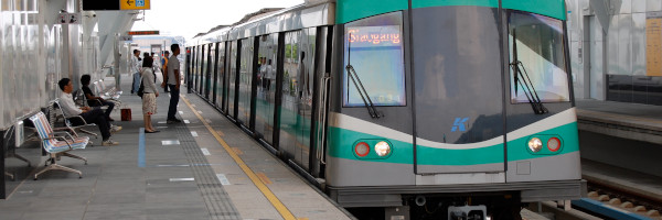
 Kaohsiung Rapid Transit | |
| Team Organizations | Chunghwa Telecom Co. Ltd International Integrated Systems Inc. (IISI) THI Consultants lnc. Sunsky International. Ltd SOCHAMP Tech Co. Ltd |
| Team Leaders | Ching-Fu Chen |
| Participating Municipalities | Kaohsiung City Taiwan |
| Status | Ready for Public Announcement |
| Document | None |
Description
Create an intelligent traffic monitoring system connected to real-time Traffic Information System to reduce traffic congestion and raise the road safety in the city. Including telecom big data analysis for plan of traffic improvement strategy, congestion prediction and alert, intelligent parking guidance and Cooperative Vehicle-Infrastructure System for intersection safety.
Challenges
- Predict the future traffic status and apply relief plan before congestion occur is critical.
- Monitor the status of vehicles approaching intersection then give warning information can reduce collision events
Solutions
- This project will adopt cellular-based vehicle probe (CVP) to realize the OD behavior, machine learning algorithm to predict future traffic, microwave sensing technique to monitor and prevent road intersection accident.
Major Requirements
- Develop and assemble project team
- Create scope and requirements, project plan
- Gain stakeholder and government support.
- Create application development team
- Develop system
- Analyze and develop system architecture
- History data collection, data analysis, prediction modeling
- Road side units setup and testing
- System integration and testing
- Run and measurement of the system performance and the defined KPIs
Performance Targets
| Key Performance Indicators (KPIs) | Measurement Methods |
|---|---|
|
|
Standards, Replicability, Scalability, and Sustainability
- For road intersection safety, the system requires interoperable road side units including microwave vehicle sensors, traffic signal controller, and alarm message display panel.
- For future traffic prediction, a standardized process is required for defining response plan for predictive road congestion
- The procedure of system setup for the intersection safety is standardized including site survey, road side unit installation, system parameters configuration. Thus it is easily replicated to the other intersections.
- A tangible benefits of traffic management system is essential and will be continuously supported by government.
Cybersecurity and Privacy
Impacts
- Reduction of traffic congestion.
- Improving driving environment for road user.
Demonstration/Deployment
The demonstration of intelligent traffic monitoring system in Kaohsiung City, including :
- The pilot run of application of telecom big data analysis for traffic planning and the traffic prediction algorithm apply in highway environment, and
- The vehicle collision prevention system of the dangerous intersection.