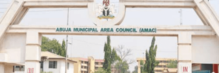
Abuja Nigeria
| Abuja Nigeria | |
|---|---|
 | |
| Abuja municipal area council | |
 | |
| Seal | |
| Abuja Nigeria Map | |
| Type of Municipality | City |
| Date Established | October 1, 1984 |
| Area | 683 sq.mi1,768.963 sq.km <br />437,120 Acres <br />1,768,963,170 sq.meter <br />19,042,040,000 sq.ft <br /> |
| Elevation | 1180 ft359.664 m <br /> |
| Population | 12358801,235,880 people <br /> |
| Timezone | GMT+1"GMT+1" is not in the list (PST, EST, CST, GMT, CET, KST, UTC, UTC+1, UTC+2, UTC+3, ...) of allowed values for the "Has timezone" property. |
- Members
Abuja is the capital and eighth most populous city of Nigeria. Located in the centre of the country within the Federal Capital Territory, it is a planned city built mainly in the 1980s based on a master plan by Japanese architect Kenzo Tange. It replaced Lagos, the country's most populous city, as the capital on 12 December 1991
Activities

|
Abuja City Integrated Transportation System | |
| Sustainable Mass Abuja Rapid Transit (SMART) is an easier, efficient and seamless means of utilizing the city’s public mass transit bus service.
Abuja Urban Mass Transit has over 500 buses conveying an estimated 1000 passengers daily. The proposed project will equip 100 buses with devices to generate and transmit real time data and information between drivers, commuters, city transport officials and the general public. The project targets increased ridership and revenue generation from the combination of multiple methods of electronic payments, bus routing, location tracking as well as online bus schedule service. | ||